SIS: 3D Laser Scans
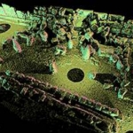
The GPS map provides for the overall plan of the monument. In fact representing the first layer of the SIS. The second layer is provided for by the images of the statues and other artefacts.
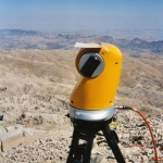
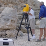
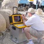
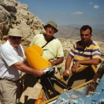
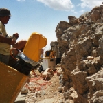
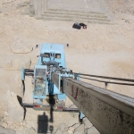
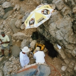
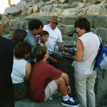
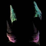
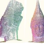
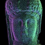
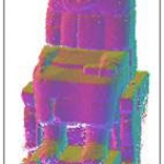
Callidus conducted state-of-the-art precision laser scans of all statues, heads and other relevant artefacts. Every object is reproduced in detail by billions of dots. Every dot has a X-Y-Z co-ordinate. The front, right, back and left of for example the Antiochos head, are scanned. The four dot clouds are merged into one. Thus a 3D dot cloud is produced of the head of Antiochos.


