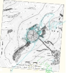
The existing maps were incomplete. Also, these maps were made using a compass indicating the magnetic north. The magnetic north moves slowly over time. Scientific theories published about the astronomical implications of the monument on Nemrud, have been based on the assumption that the north is the geographic north. This basic error resulted in wrong interpretations by the scientists.
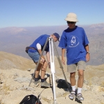
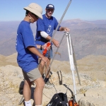
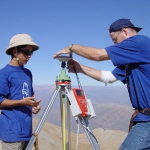
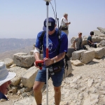
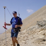
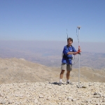
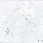
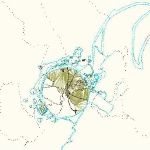
The Technical University Delft conducted a topographic survey based on GPS. The result was a most accurate map of the mountain and its surroundings. The map provides for the magnetic north as well as the geographic north.
Of all available maps this one must be considered the most accurate regarding to distance, altitude and direction, with a maximum deviation of two centimetres. The map extends from the West-Terrace to the East-Terrace and North-Terrace, and finally to the quadrant bordered in the east by the ice-caves, the entrance relief I and in the west by the entrance relief III.
See the report: GPS Survey as base of the SIS, TU-Delft 2001


